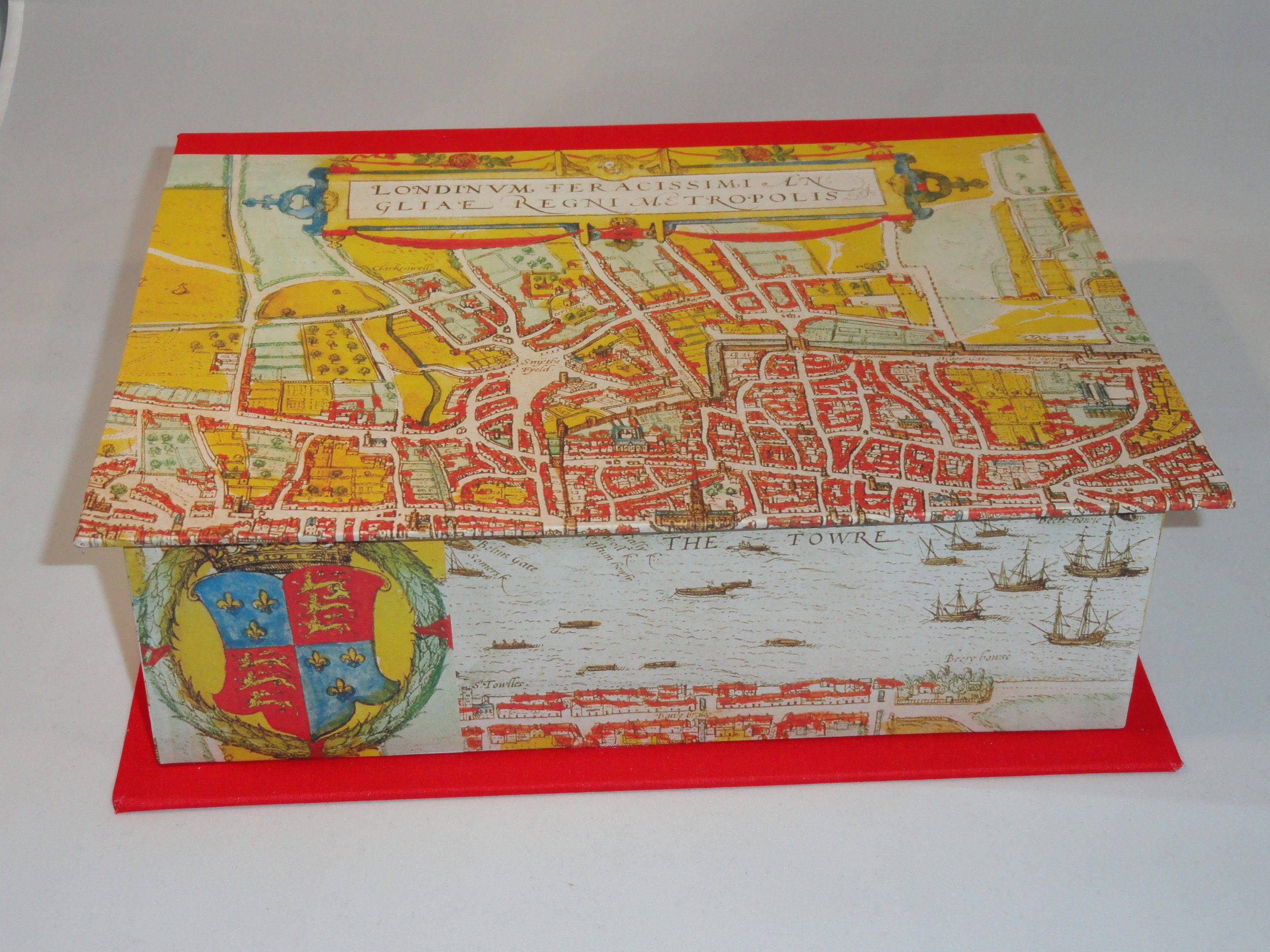
This rectangular box displays a print of the famous earliest entirely extant city plan of London. This map of the Elizabethan capital was first printed by Franz Hogenberg in 1572.
Box Description
This famous antique map, one of the earliest printed maps of London and Westminster,
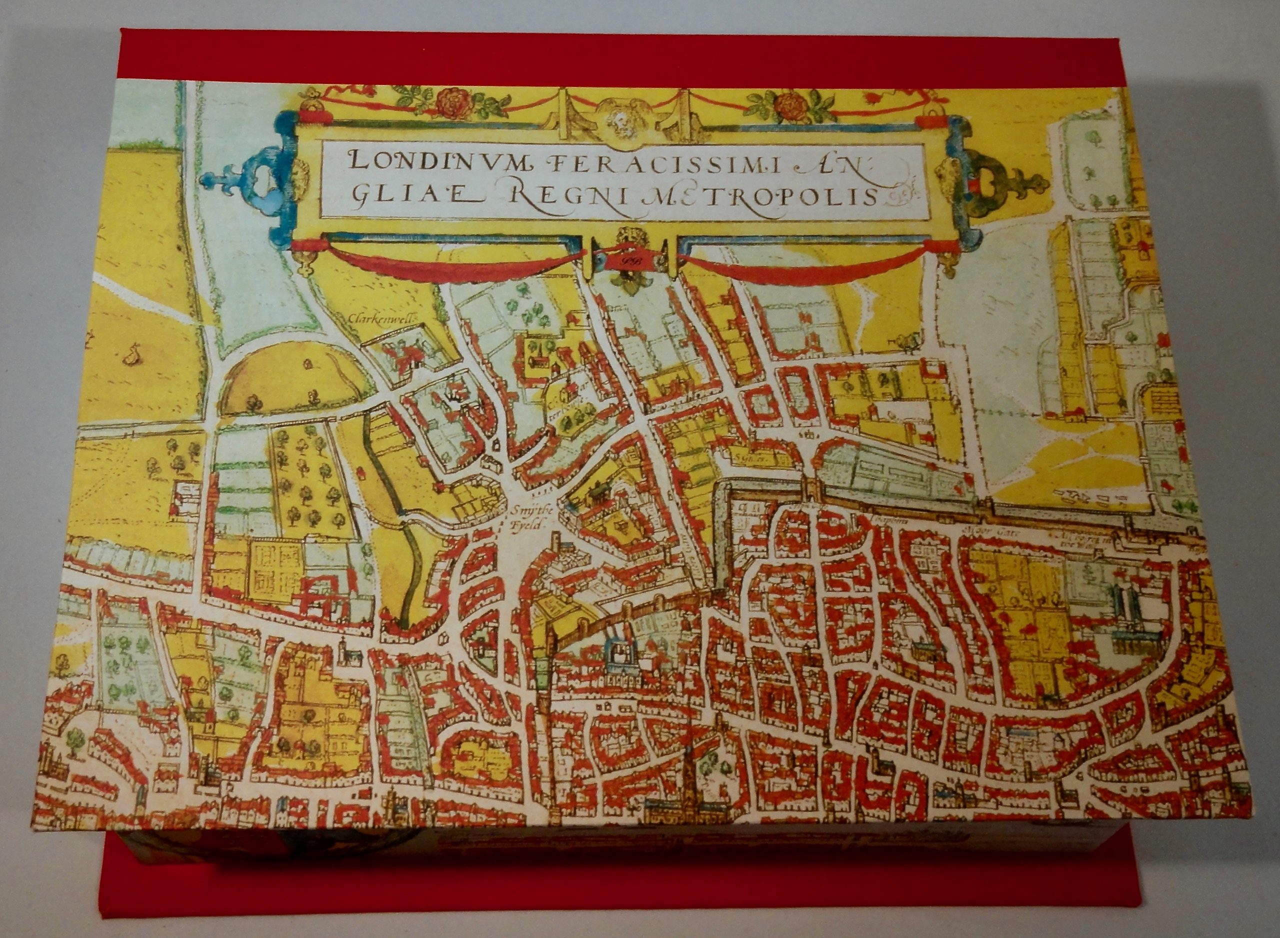
Close up view of the top of the box.
was first published in a German Atlas of European Cities by Braun & Hogenberg in 1572. It shows London as Shakespeare would have known it. The Tower of London is clearly visible, as are the Charterhouse Monastery, Old St. Paul’s Cathedral and local wildlife in the grasses and fields north of Holborn. The foreground of the map features several figures in local dress. The map is embellished with costumes and coats of arms from the Elizabethan era.
Dimensions for this large rectangular box are: 11″ long by 9″ wide by 3″ deep.
This box sells for $100.00 plus shipping.
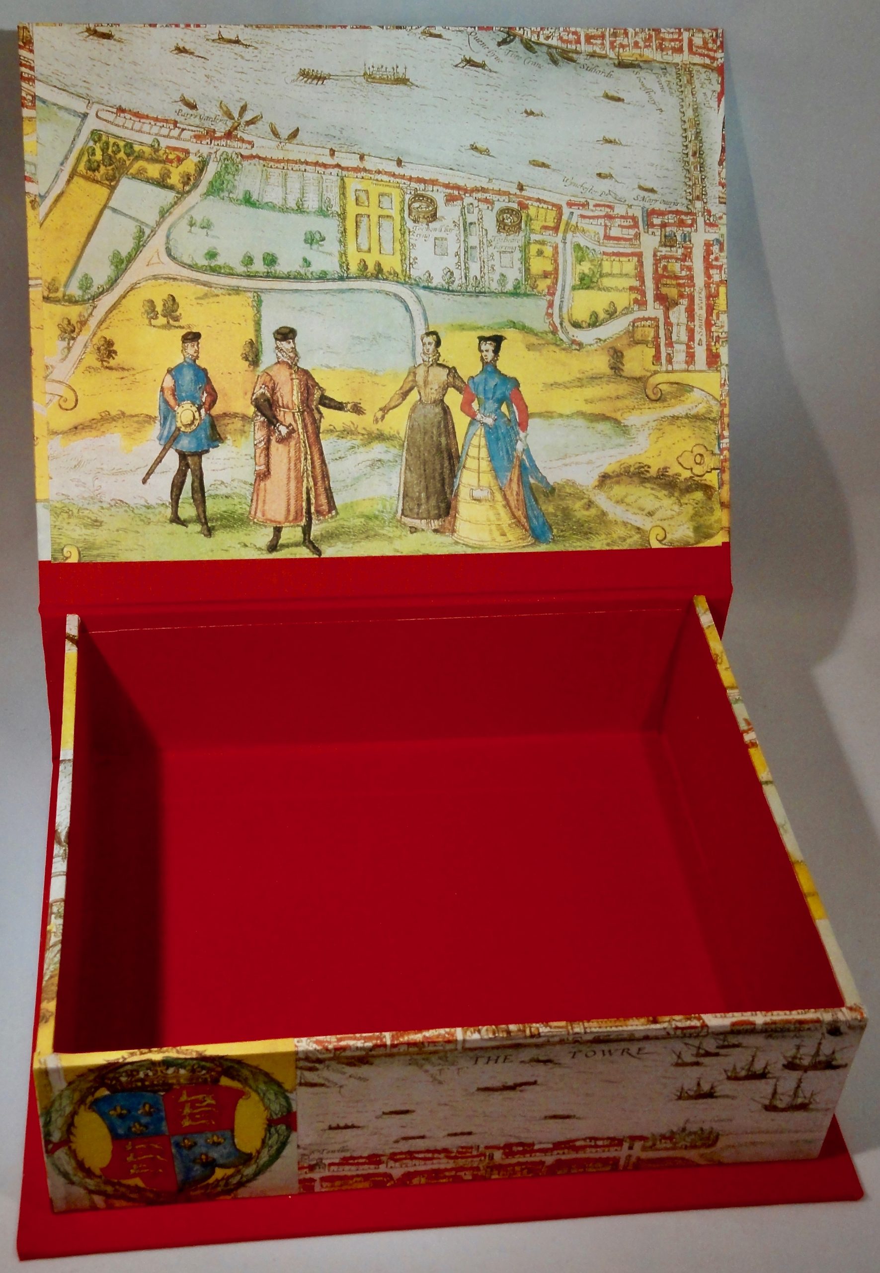
Interior view of Hogenberg’s 1572 Map of London rectangular box.